
Weather
Pressure Trends and the Walker's Altimeter
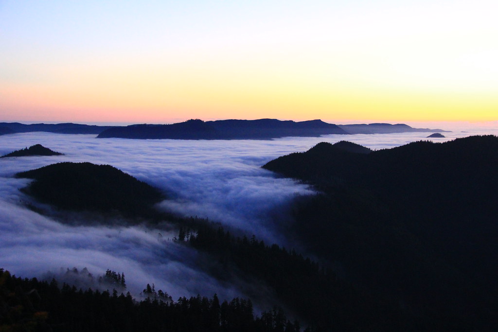
A barometric altimeter is also a small weather station. A short guide to reading it that way.
Skills editor
Astrid Pereira teaches navigation and emergency response for a national outdoor education centre. She writes for Field Lantern when the weather is good enough that her students don't need her.
Beats
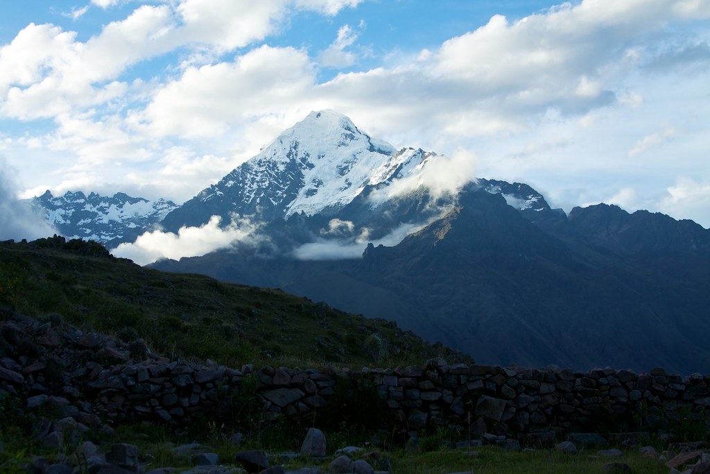
Weather
A barometric altimeter is also a small weather station. A short guide to reading it that way.
Maps & Routes
Between the snow and the midges, the Cairngorms offer a narrow window each May for long walks on the high plateau. Planning a route for that window means reading the maps for ground that the maps do not quite describe.
Wildlife
A May night census of plethodontid salamanders along a high-elevation seep in the Mountain Bridge Wilderness of upstate South Carolina, where one of the world's densest amphibian assemblages quietly persists.
Trails
A retired headmaster walks from Eastbourne to Lewes in May, covering twenty-one miles of England's most-walked national trail in unfashionable weather.
Gear Tested
R-value on the package is a lab number. Astrid Pereira tested three popular pads in a Welsh barn at 0C and a North Pennine bothy at minus 4C. The gap between marketing and morning was not always where she expected.
Field Notes
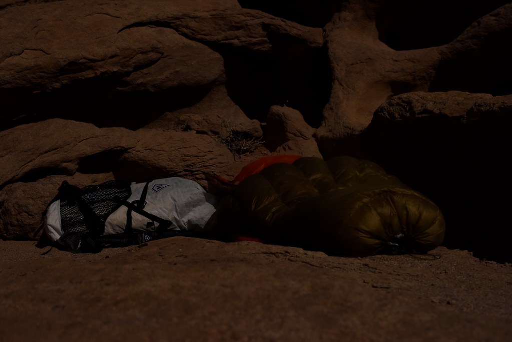
At Loch Chiarain, three peat-dark miles from the West Highland Way, with one box of matches and a slate roof that does not entirely keep out the rain.

Skills
After a decade of teaching knot classes, Astrid Pereira concluded that most hikers need four knots and that one of them is not the one they think.
Field Notes
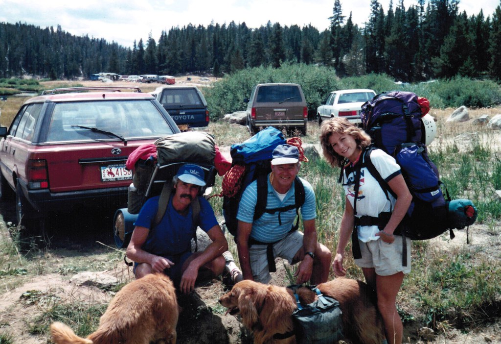
The Cirque of the Towers from the Big Sandy trailhead in the third week of July, a route some walk in a day and others should not walk at all.
Trails
A walker covers fifty-three miles of the Welsh coast path between Tenby and St Davids in mid-February. The path is hers, mostly.
Gear Tested
Astrid Pereira took five headlamps into the wet limestone of South Wales and the deeper, drier caves of the Yorkshire Dales. After 200 hours underground, only two were still working as advertised.
Maps & Routes
Among navigation techniques taught at British outdoor centres, the ridgeline handrail is one of the simplest and the most consistently misunderstood. Used well, it removes most of the decisions that get walkers lost.
Weather
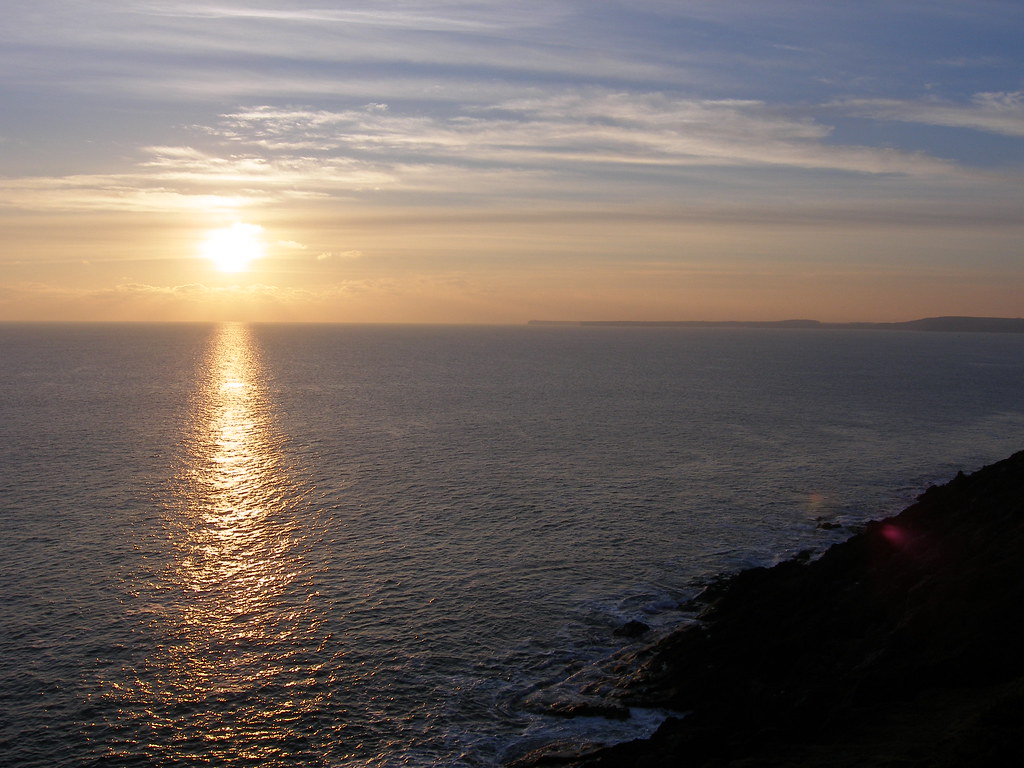
The temperatures at which hands stop working, decisions get worse, and the trail becomes a clinical environment.
Trails
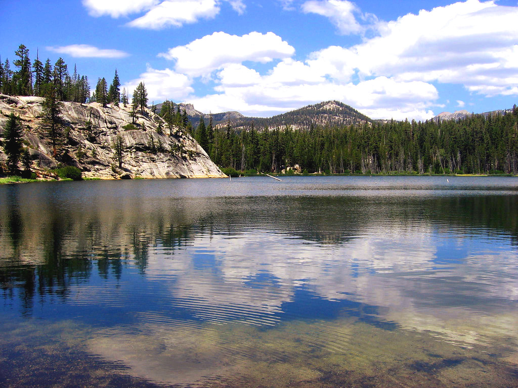
A small mountaineering club proposes a thirty-one-kilometre traverse across the Cairngorm plateau. Two members walk it in late April to see what it asks.
Maps & Routes
A small program inside the USGS keeps the 7.5-minute topographic series honest. In 2026 it relies on roughly four hundred volunteers who walk their own quad once a year and send back red ink.
Skills
On the Rhinogydd in May, Astrid Pereira lost the path between two cairns and found her way back to the col by the noise of a single stream a quarter mile below.