Wendell Foss laid the 1973 USGS 7.5-minute quadrangle of Hood Spring out on his kitchen table in Bozeman, Montana, on a Wednesday evening in late April and spent two and a half hours marking every blue dot, every blue dash, and every place where the contours suggested a spring might still be running.
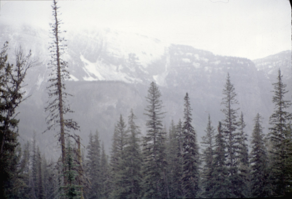
He was planning a four-day route through the eastern Glass Mountains in west Texas, country he had not walked before, and water was the limiting factor.
The published trail descriptions for the area were thin. The Bureau of Land Management map gave him roads and parcel boundaries but not the kind of detail he needed. The USGS quad, half a century out of date and overprinted with land-use changes that no longer applied, was the best topographic document available.
He has been reading topographic maps for forty years, twenty-two of them as a backcountry ranger in the Northern Rockies. He approaches a new quad the way an old reader approaches a new book: slowly, in chapters, with a pencil.
Water on a topo lives in three places. It is named — Spring, Tank, Well, Tinaja — and labelled in italic blue type. It is symbolised — a small blue circle for a spring, an open circle for a windmill or stock tank, dashed blue lines for intermittent streams. And it is implied, which is the part most map readers never learn to see.
Implied water is what Foss was hunting that evening.
Springs in arid country tend to occur at predictable geological boundaries. The most common are contact springs, where a permeable layer of rock sits above an impermeable one and groundwater is forced sideways to the surface. On a topo, you can sometimes see these contacts as a change in the texture of the contour lines, from the close-packed cliff edges of a hard cap to the looser, more rounded contours of softer rock beneath.
Where that change happens at the head of a small drainage, there is often a spring. The contour will sometimes bulge upstream slightly, the way a stream contour does, even when no blue line is drawn.
Foss marked seven such places on the Hood Spring quad. Three were named springs already symbolised. Four were inferred — small unmapped places at the heads of unnamed drainages where the geology and the topography seemed to argue for water.
He cross-referenced them against the BLM grazing allotment maps for the area, which show stock tanks and the small dirt-tank reservoirs that ranchers had built where seasonal water had once been dependable. Three of his four inferred springs corresponded to stock tanks. The fourth did not, which meant either he was wrong, or no rancher had bothered to develop the water there.
He drove south at the end of April and started walking on the morning of May 2nd.
Of his seven marked water sources, six had water. The seventh was dry but showed clear evidence of recent flow — damp ground at the base of the cliff, fresh canid tracks, a small patch of green sedge that does not survive without moisture.
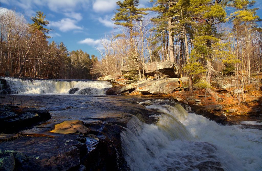
He spent the trip taking notes. The named Hackberry Spring was running at perhaps a gallon a minute. The unnamed inferred source below the cap rock on the eastern flank of the Glass Mountains was a clean drip from a fissure in the limestone, producing maybe four gallons an hour into a small natural basin.
What he came back with, beyond the water and the route, was a refined sense of how to read his maps.
He keeps a notebook on his desk in which he records every prediction-versus-reality test for water sources he has tried to infer from topography. Over forty years it has become a kind of personal calibration document. The rate of correct inference on contact-spring guesses in limestone country is about seventy percent. In granitic country it drops to forty.
These numbers are not transferable. They are particular to the country he has walked and the maps he has read. But the practice of keeping the numbers is, he thinks, the actual skill.
Reading a topo for water is not memorisation of symbols. It is a habit of asking the same question every time you open a map: where, if I did not have this map, would I expect to find water in this country?
And then, when you walk there, you check.
The check is the part that turns map-reading into a craft rather than a class of trivia.
Foss finished the route on the afternoon of May 6th at a small turnout on a county road south of Alpine, Texas. He had carried, on average, two and a half litres of water through country where most planning advice would have told him to carry six.
The lighter pack let him cover the route in four days where five would have been more typical. The map, fifty-three years old and arguably obsolete, had been correct in almost every particular that mattered.