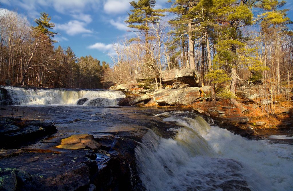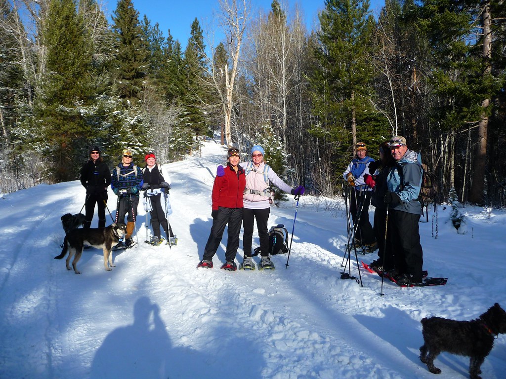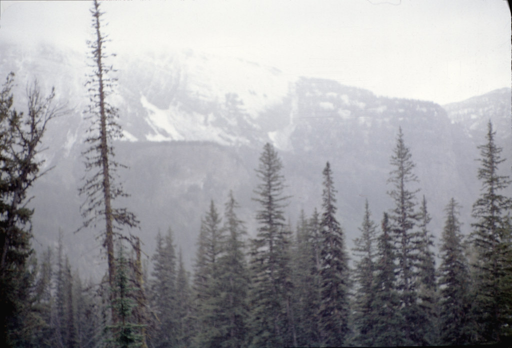
The Bob Marshall Wilderness, in northwest Montana, is the fifth-largest wilderness area in the contiguous United States. It covers 1,009,356 acres of Forest Service land, has no roads of any kind within its boundaries, and shares a porous border with two adjacent wildernesses, the Great Bear and the Scapegoat. Locals and rangers call the combined block, all 1.5 million acres of it, the Bob.
Wendell Foss has been walking in the Bob since 1996, when he was hired as a seasonal backcountry ranger out of the Spotted Bear Ranger Station. He spent twenty-two years on the district, ten of them as the lead patrol ranger for the western half. Since he retired in 2018 he has walked through the wilderness roughly twice a year, usually for a week at a time, almost always alone.
What follows is a route he planned this spring for a four-day walk in early July. He has agreed to share the planning process, the maps he used, the decisions he made, and the things he chose not to do. The route itself is deliberately vague in this account. He prefers that readers learn the method, not memorize the line.
The first map on the table is not a topographic quad. It is the U.S. Forest Service's Flathead National Forest visitor map, scale 1:126,720, which covers the entire wilderness on a single sheet. It is, Foss said, almost useless for navigation. It is essential for planning. It shows the trail system, the major drainages, and the boundaries of grazing allotments, and it shows them in a way that allows the planner to think in days rather than miles.
A four-day walk in the Bob, Foss said, is between forty and fifty-five miles for someone who is reasonably fit and not trying to cover ground for its own sake. He plans for ten to fourteen miles a day, with one short day either at the beginning or the end. The shorter day is usually at the beginning. It lets the body settle, the pack adjust, and the planner discover whatever was forgotten before the route makes that discovery expensive.
From the visitor map, Foss identified four candidate loops, each one anchored on a different trailhead. He ruled out two of them quickly. The first was the Pyramid Pass loop, because it climbs early and stays high, which is unsuitable for the first day of a trip after a long drive. The second was the South Fork Sun River loop, because it requires a long shuttle and he was driving in alone.
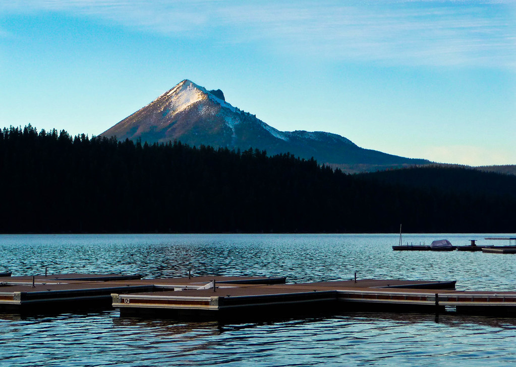
The two remaining candidates were the Big Salmon Lake loop, out of the Meadow Creek trailhead, and a smaller loop out of the Holland Lake trailhead in the Swan Range. He chose the Holland Lake option. It is shorter, the trailhead is less than two hours from his house in Bozeman, and the loop he had in mind crosses two ridgelines without committing to either summit.
With the loop chosen, Foss moved to the topographic quads. The Holland Lake loop touches four 7.5-minute quads — Holland Lake, Holland Peak, Upper Holland Lake, and Lion Creek Pass. He printed all four at full scale on weatherproof paper using a printer his daughter gave him for his sixtieth birthday. He keeps the printed quads folded in a small dry bag that lives in the lid of his pack.
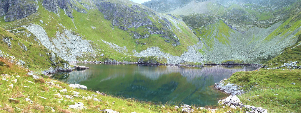
The next pass over the maps is what Foss calls the water pass. He marks every named stream, every tarn, every spring, and every lake on the route in blue pencil. He marks unnamed seasonal drainages in a lighter blue. In July, in a dry year, the seasonal drainages may be dry. The route must work if they are.
On the Holland Lake loop the water pass produced eleven reliable sources over the planned forty-three miles. That is more than adequate. In the Beaverhead-Deerlodge, where Foss has walked similar loops, the equivalent count might be three. The difference matters. It determines how much water each camp must carry through the day, and it determines whether a midday push to the next source is a comfort or a requirement.
After water comes weather. The Bob sits on the spine of the Continental Divide and gets weather from both sides. Foss reads the Glacier National Park forecast, the National Weather Service's Missoula office's mountain forecast, and a private avalanche center's summer outlook, which continues to publish through July for backcountry rangers and outfitters. He looks for the pattern, not the day. A week of afternoon thunderstorms is a different trip than a week of clear cool air.
He also reads the bear board. The Flathead National Forest publishes a weekly summary of recent bear activity in the wilderness, broken down by drainage. In late June this year there had been three grizzly sightings in the Lion Creek drainage and one in the South Fork of the Lost Creek. Neither was a problem encounter. Foss noted them, and he chose camp locations away from the drainages where the sightings had occurred.
Camp selection is the next pass. Foss does not camp at named lakes in the Bob if he can avoid it. Named lakes attract outfitters, fishermen, and stock parties, and a quiet camp is easier to find half a mile up a side stream than at the lake itself. He picks three camps, with a fourth in reserve in case a planned camp turns out to be occupied or unsuitable. All four camps are on durable surfaces — gravel bars, mineral soil, or established pads — and all four are at least two hundred feet from water.
The fourth pass is the bail pass. For every day of the route, Foss identifies an escape line. From the second night's camp the bail is a steep but walkable route down Lion Creek to a Forest Service road outside the wilderness, about nine miles. From the third night's camp the bail is to retrace the previous day's route. He writes these in the margin of the quad in pencil.
The fifth and last pass is the gear pass. Foss does this with the maps in front of him, because gear decisions depend on the route. The Holland Lake loop has no technical sections, but it has one long traverse above 8,000 feet where afternoon weather can move in quickly. He decided to carry a lightweight bivy in addition to a tarp, in case he had to drop off the ridge and shelter below treeline.
He also decided to carry a hand-bearing compass in addition to his standard baseplate compass. Two of the ridge sections on the loop are above treeline, with limited visual reference. A hand-bearing compass, used carefully, lets him take a bearing to a distant feature, walk to it, and take another bearing. It is slower than GPS, but it does not require batteries, and it does not fail in cloud.
Foss does carry a GPS. He carries a small handheld unit with the quads preloaded as raster overlays, and a second unit, a basic Garmin inReach, for satellite text messaging and an emergency beacon. Neither, he said, is for navigation. They are for documentation and for the family at home. He navigates with the paper map and the compass.
The total planning, from the visitor map to the finished route in a small waterproof notebook, took Foss about six hours, spread across two evenings. He has done it enough times that the order is automatic. A first-time planner, he said, should expect to spend twelve to fifteen hours on a comparable route, and should plan to walk the route in good weather with someone who knows the country.
On the morning of his departure in early July, Foss will hand a copy of the route to his daughter. He will tell her the date he intends to come out, the trailhead he will come out at, and the date after which she should call the Spotted Bear Ranger Station if she has not heard from him. He will not text from the trail. He prefers, he said, to be where he is.
The Bob, in his account, is not a wilderness that punishes mistakes dramatically. It is a wilderness that punishes mistakes slowly. A bad water plan turns into a long thirsty day. A bad weather read turns into a cold night above treeline. A bad camp choice turns into a sleepless one because of stock bells half a mile away. The point of the planning is to absorb the small punishments before they accumulate.
He will be back at his car on the fourth evening. He will drive to the cafe in Condon, Montana, order a cheeseburger, and eat it slowly while looking at his maps spread on the booth. Then he will drive home.