Maps & Routes
The Cartography of the Fire Perimeter
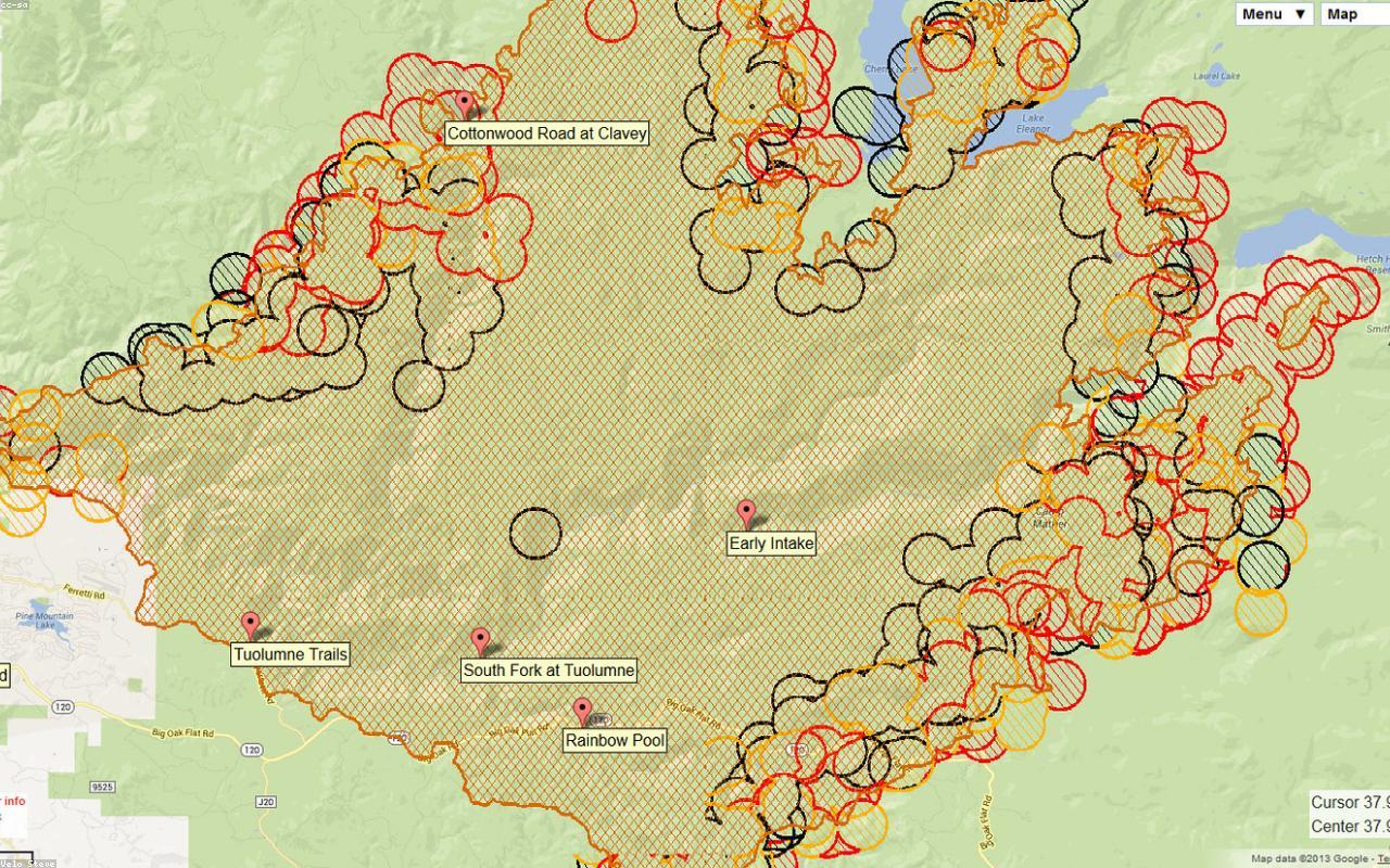
Wildfire perimeter maps look definitive on the page. The cartographers who make them know they are provisional documents, drawn in conditions that change faster than the ink can dry.
Tag
Maps & Routes
Wildfire perimeter maps look definitive on the page. The cartographers who make them know they are provisional documents, drawn in conditions that change faster than the ink can dry.
Maps & Routes
Across the United States, the practical maps that hikers carry are not made by the government. They are made by trail associations, mostly by volunteers, often by retirees with cartography software and a willingness to argue about line weights.
Maps & Routes
In a converted barn outside Brunswick, Maine, a sixty-one-year-old man draws topographic maps by hand for clients who still pay for them. He is, by his own reckoning, the last full-time commercial cartographer working in the state.
Maps & Routes
A small program inside the USGS keeps the 7.5-minute topographic series honest. In 2026 it relies on roughly four hundred volunteers who walk their own quad once a year and send back red ink.